Geophysical Survey for Shallow Groundwater Assessment in the Thung Kula Rong Hai Region
- Thanet Natisri
- 1 day ago
- 2 min read


The Community Water Management Fund (Inspired by the Thai Royal Initiative), under the Thai Public Policy Foundation, in collaboration with GeoTEMx Co., Ltd., American Groundwater Solutions, LLC, Nah Yod Community Enterprise (Ku Ka Sing), Roi Et College of Agriculture and Technology, and Rajamangala University of Technology Isan, conducted an advanced geophysical survey to evaluate the potential of shallow groundwater resources across the Thung Kula Rong Hai region of northeastern Thailand.
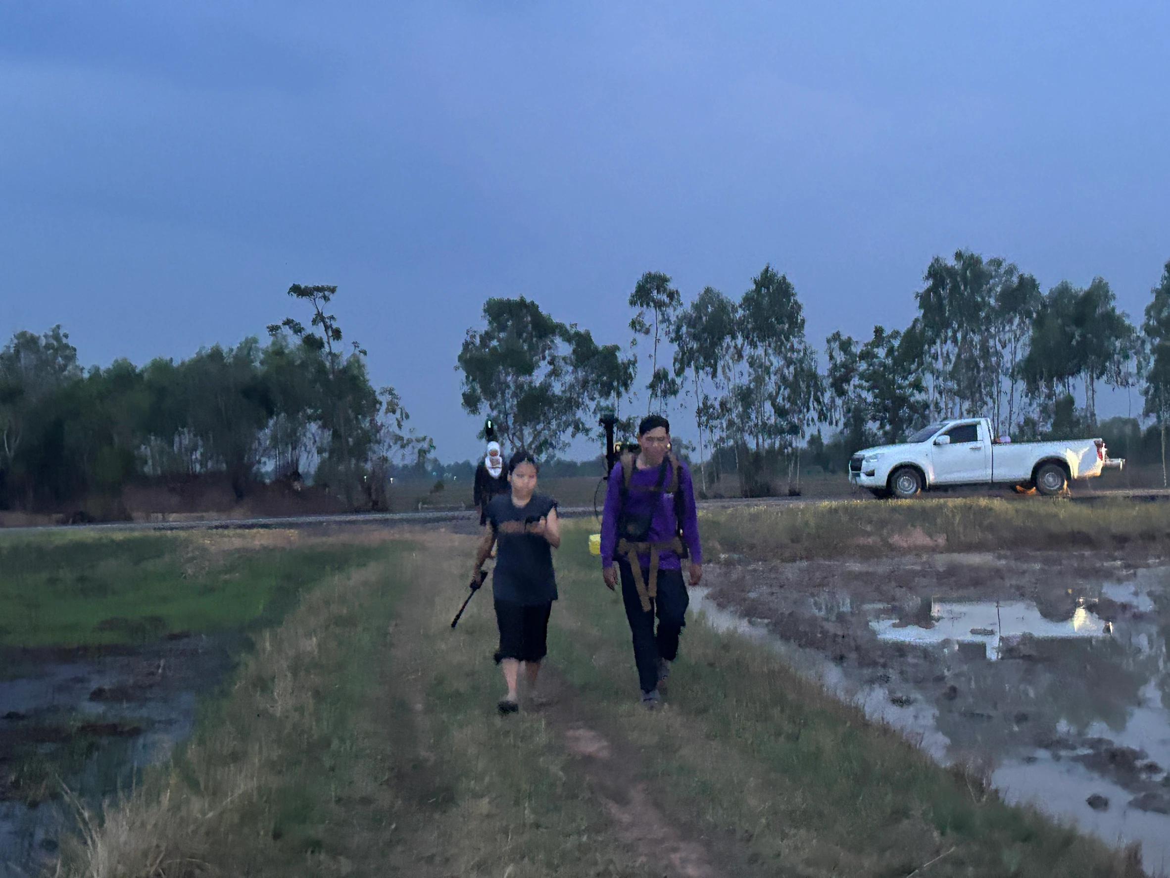
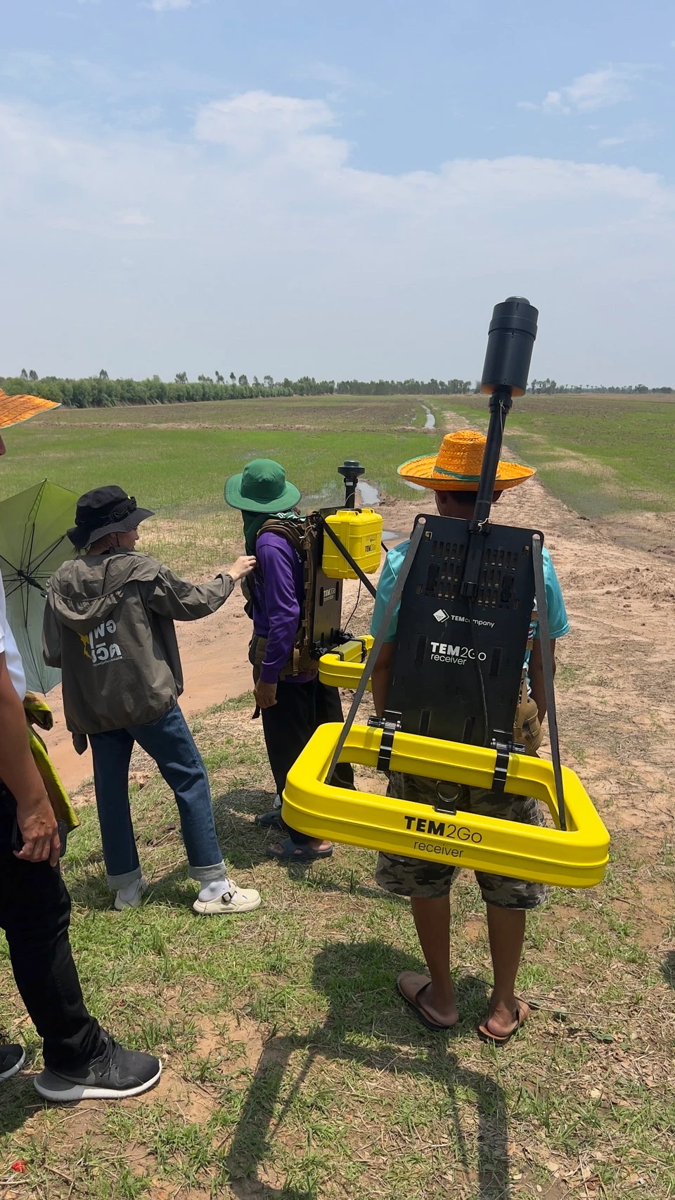
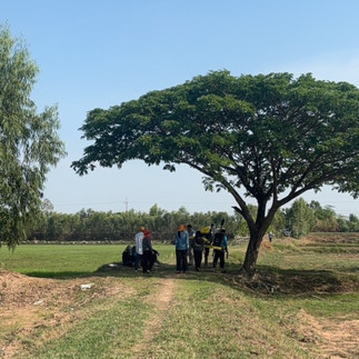
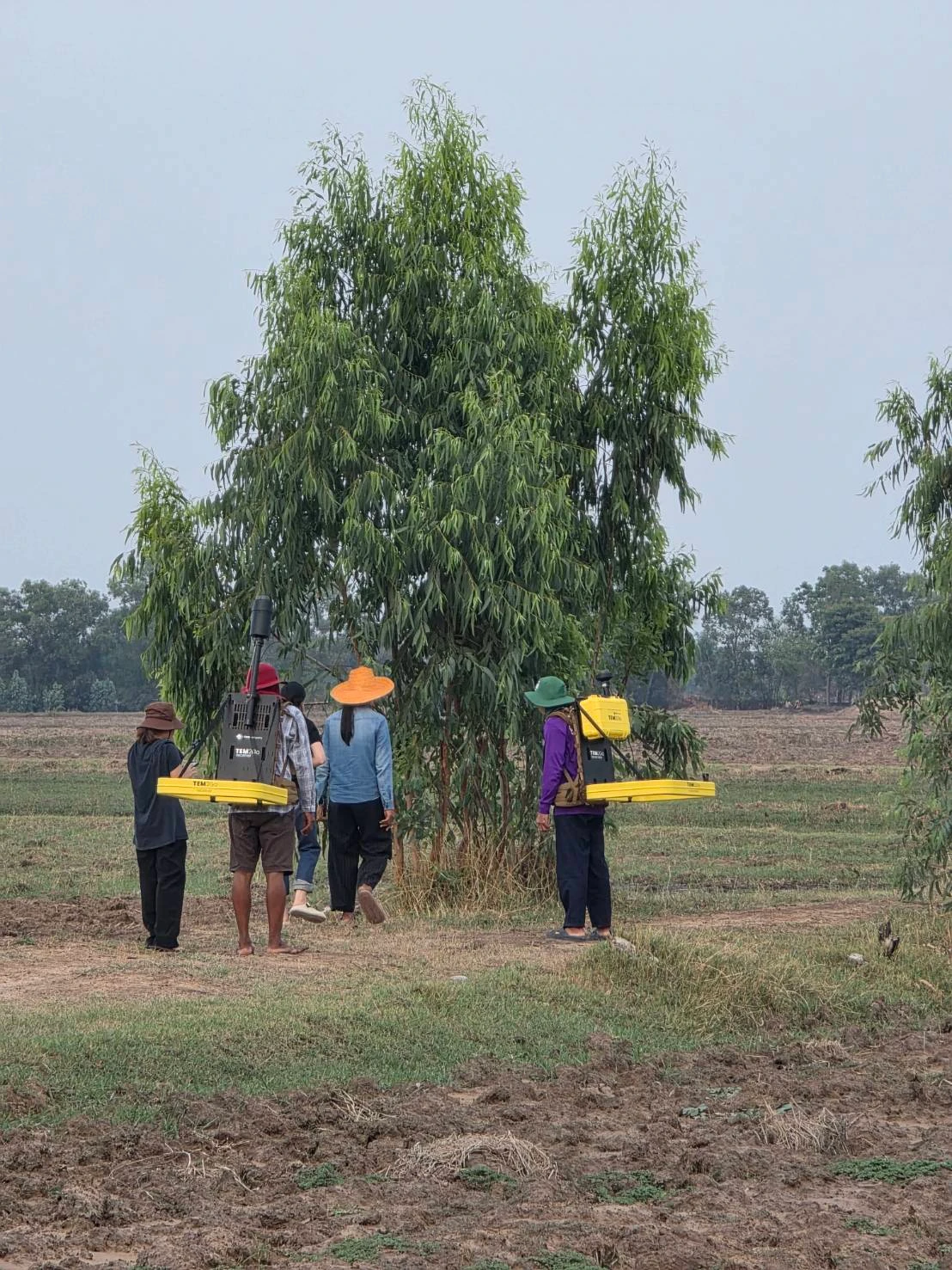
The survey forms part of a long-term initiative to strengthen agricultural water security through scientific investigation and sustainable groundwater development. Modern geophysical techniques were employed alongside high-precision GNSS positioning to accurately map subsurface conditions without the need for extensive drilling.
Project Objectives
Assess the potential of shallow groundwater resources.
Identify suitable locations for future groundwater development.
Support sustainable agricultural water management.
Reduce drought vulnerability through science-based planning.
Provide reliable subsurface data for long-term community water resource management.
Survey Technology
The project utilized state-of-the-art geophysical survey technologies, including:
Time Domain Electromagnetic (TEM)
Electrical Resistivity Tomography (ERT)
High-precision GNSS positioning
GIS-based spatial analysis and data integration
These methods enable rapid, non-invasive investigation of subsurface geology, aquifer characteristics, groundwater distribution, and salinity variations while minimizing environmental disturbance.
Supporting Sustainable Agriculture
Thung Kula Rong Hai is one of Thailand's largest agricultural regions and has historically faced challenges related to drought, saline soils, and limited freshwater availability. By accurately mapping shallow aquifers, the project provides valuable information for improving irrigation planning, enhancing groundwater recharge, and supporting resilient agricultural production.
Collaborative Partnership
This project reflects the successful collaboration between government, academia, private industry, and local communities. By integrating scientific research with local knowledge, the initiative aims to create practical and sustainable water management solutions that benefit farmers and strengthen community resilience.
Looking Ahead
The collected geophysical data will be processed and interpreted to produce detailed groundwater potential maps and recommendations for future groundwater development. These findings will support strategic water resource planning and contribute to sustainable agricultural development throughout the Thung Kula Rong Hai region.
GeoTEMx remains committed to delivering advanced geophysical solutions that transform complex subsurface data into actionable intelligence—helping communities, industries, and governments make informed decisions for a more sustainable future.


Comments